Album:2017:07-01 Fourth-of-Juplaya
|
Album:2017:07-01 Fourth-of-Juplaya |
|
|||
|
|
||||
|
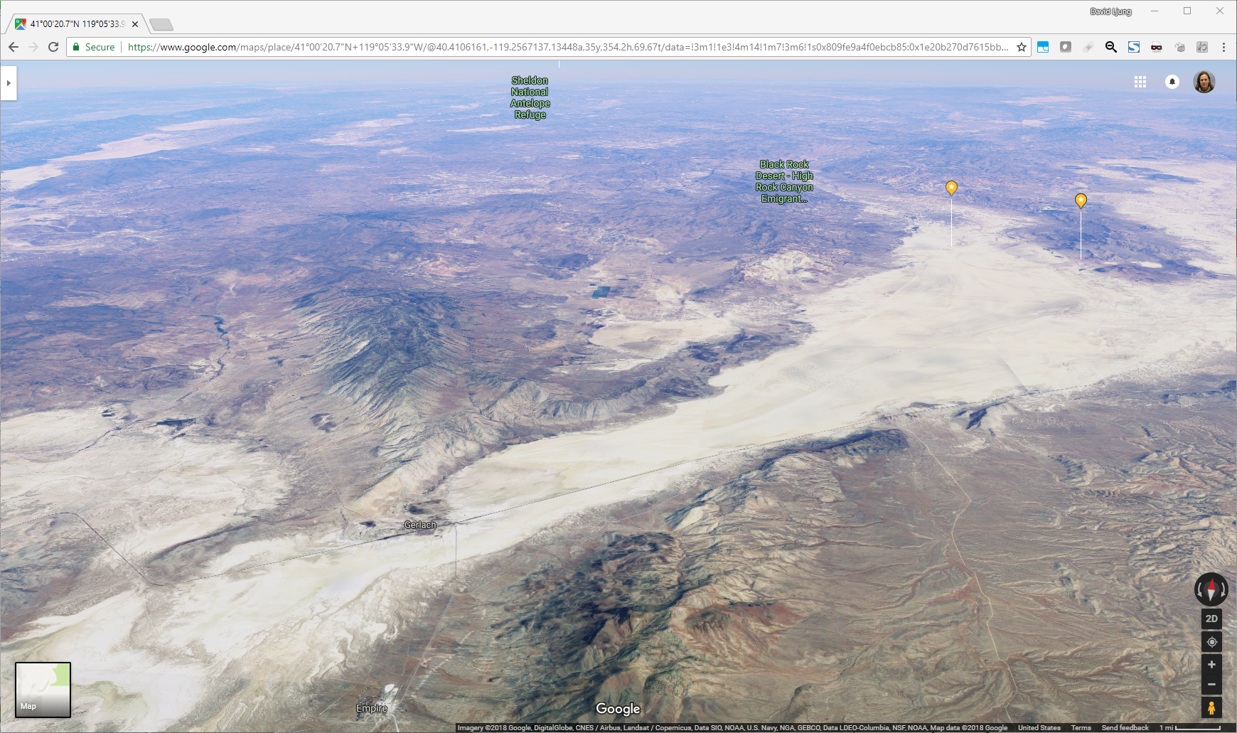
A 3-D map of where the bus was stuck,
where you can see the curvature of the earth! (to show some perspective) We were up in the right at the left of the two yellow pins. The hot springs are the pin on the right. The city of Gerlach is down towards the bottom-left of the map, almost 30 miles away. |
|
|||||||||
|
|
|||||||||
|
Photo album generated by album tool a Marginal Hack by D. Madison on Fri Nov 11 20:51:59 2022
|
|||||||||